Our client was sued over her property in Mindanao. To know exactly the area occupied by the complainant, the land court sent surveyors. I was our client’s representative.

We looked but did not find.
The other plans included a trek to Linabo Peak, and an almost-forever habal-habal ride to Baga Falls in Sapang Dalaga and the white beach in Baliangao, both in Misamis Occidental.
We could not find the boundary mark even after hours of looking on one side of the property near the highway. We transferred to the other side. We asked the old man who lives near the place and all he could do was point to the ground where that mark was supposed to be. But the mark was gone.

Tino-tino grows in the wild, usually in the fields when no rice is growing. This one is not sweet.
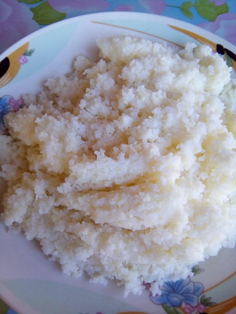
Corn that looks like rice. It’s delicious. Ate for lunch.
The young geodetic engineer followed with his instrument on a tripod he carried on his shoulder. He set up the tripod on top of the stone we found. Then his assistant, carrying with him a prism and a two-way radio, went to the other side about 500 meters away to determine a reference point. After that, we identified the edges of the property claimed by the complainant to determine the actual size.
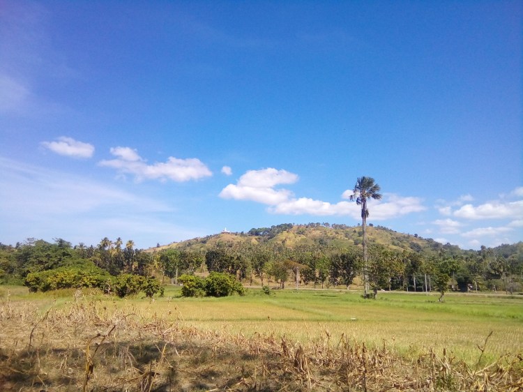
Where’s the shrine?

Pingback: For the Devotee: The Divine Mercy Shrine overlooking the sea on Siare Hills, Sindangan, Zambaonga del Norte | Pilar, Capiz